

HARDWICK – A recently completed technical study of Hardwick’s Jackson Dam examines how Jackson Dam interacts with the Lamoille River and how more than a century of sediment accumulation has shaped the river system around it.
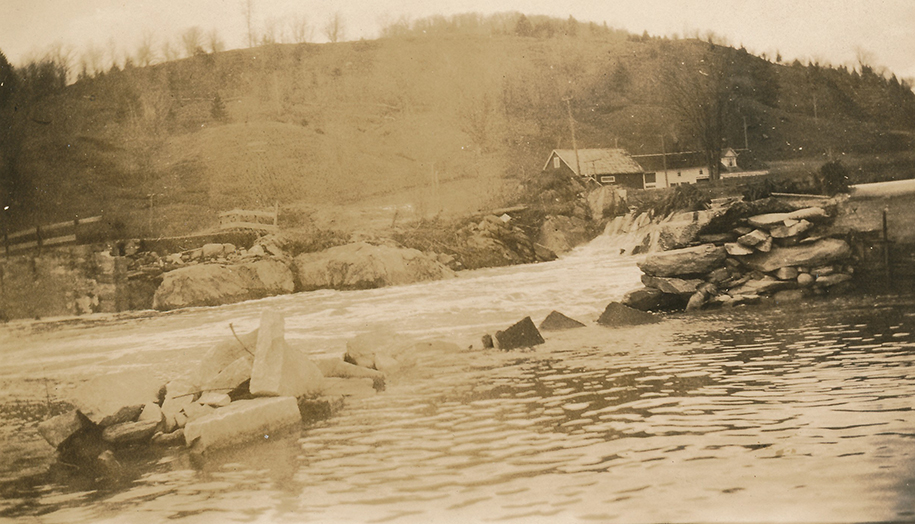
photo courtesy Hardwick Historical Society
The dam, located just upstream of the Route 15 bridge, has held back water and sediment along this stretch of the river for more than one hundred years, since 1912. During that time, natural materials carried downstream by the river: sand, gravel and silt, have gradually settled behind the structure.
This process is common in rivers where water slows behind dams. Over time, sediment can build up in the impoundment and change both the depth of the water and the shape of the river channel.
The study documents the sediment that has accumulated behind Jackson Dam and how it is distributed across the river and Hardwick Lake area. Engineers and river scientists also reviewed the current condition of the dam and considered how sediment buildup may influence river behavior during higher water events.
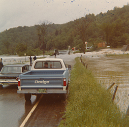
Since flooding in 2023 and 2024, neighborhood surveys, comments from floodplain property owners during two rounds of Substantial Damage Determinations, outreach to businesses along Wolcott Street and a series of public meetings over the past two years has demonstrated increased interest among town residents and property owners in understanding how water moves through the Lamoille River system and how infrastructure interacts with those natural processes.

photo courtesy Hardwick Historical Society
Understanding these conditions is an important first step as the town works to evaluate long-term management and the future of the Jackson Dam site.
The study was prepared by SLR International, an engineering and river science firm working with the Caledonia County Natural Resources Conservation District and the Town of Hardwick. Their work provides technical information about sediment, river conditions and the current state of the dam.
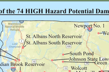
Many dams across Vermont were constructed more than a century ago for purposes such as powering mills or generating local electricity. While those uses were once central to many communities, rivers themselves continue to change over time, and infrastructure built along them inevitably ages.
Hardwick Lake has long been part of the town’s landscape and community life.
Sediment accumulation is one of the most common challenges associated with older dams. As sediment builds up, it can alter water depth, affect the shape of the river channel and influence how floodwaters move through the surrounding landscape.
The Jackson Dam study provides baseline information about how those processes are occurring along this section of the Lamoille River.
Understanding how sediment, river flow, and infrastructure interact is an important part of managing rivers in Vermont communities. Information from the study will help the town continue evaluating conditions at the site as it considers possible next steps.
The report is available on the town’s flood information web page (hardwickvt.gov/wp-content/uploads/2026/03/2026-03-13_JacksonDamMemo_V2.pdf), and will be presented to the Hardwick Electric Department Commissioners and the Hardwick Select Board in the Memorial Building’s third floor meeting room, March 26 from 5 to 7 p.m.
Kristen Leahy is the Town of Hardwick Resilience and Floodplain Administrator
