
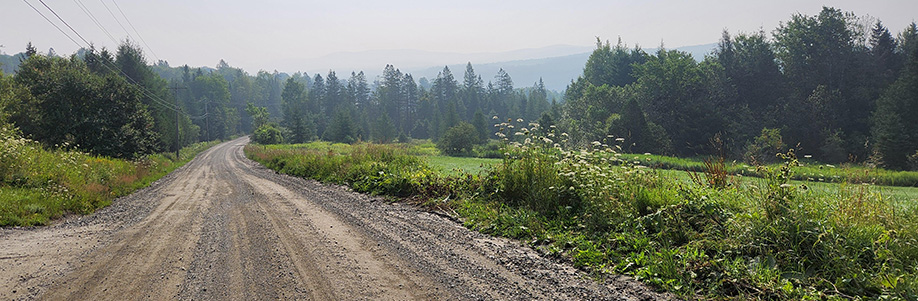

EAST HARDWICK — The calendar is showing July, but the upcoming forecast period will quickly transition to conditions that feel like mid-September. This comes in the wake of a week where temperatures were all over the place, with some highs approaching 90 degrees and a comfortable night where lows dipped to the upper 40s. Smoke settled in on Saturday, creating some unhealthy air quality conditions, before being washed out on Sunday morning with a deluge of rain. Rainfall totals of around an inch of accumulation were observed at our local weather stations.
Heat and humidity built in the wake of that rain, as high temperatures returned to the upper 80s for Monday, with Tuesday looking at similar highs.
A wave of low-pressure riding along a southward-moving cold front crosses northern Vermont Wednesday afternoon and evening. Showers and thunderstorms appear likely during that time. That front slows as it moves southward, with lingering clouds for Thursday. Things will feel much cooler. High pressure builds through the remainder of the period, with clearing conditions starting Friday and the set up for what looks to be comfortable highs and lows as we move into a spectacular weekend.
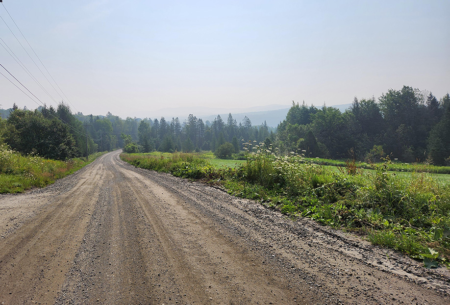
photo by Dawn Gustafson
Wednesday: Mostly cloudy. Showers and thunderstorms by afternoon. High: 82. Low: 57. Southwest wind around 5 mph.
Thursday: Mostly cloudy. High: 70. Low: 48. North wind 5-10 mph.
Friday: Becoming mostly sunny. High: 71. Low: 44. Northwest wind 5-10 mph.
Saturday: Sunny. High: 74. Low: 52. Northwest wind around 5 mph.
Sunday: Sunny. High: 79. Low: 56. West wind around 5 mph.
Tyler Molleur, MSN, RN, CEN, TCRN, CPEN, NRP, is a Clinical Assistant Professor, Department of Nursing, and Lecturer, Initiative for Rural Emergency Medical Services. He has been reporting on local weather conditions since he was in the eighth grade at Craftsbury Academy.

Tyler is our weather reporter and a community journalist. He works as a nurse and EMT, volunteers with Hardwick Rescue and helps to train new EMTs.
