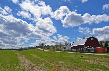
HARDWICK – We will be in the middle of another pendulum-swing Wednesday morning as the skies clear out and temperatures look to reach 50. This comes after a period of highly variable weather, which commenced in the middle of last week, with warmer temperatures and precipitation in the form of rain. While major flooding did not occur, there were some smaller streams and our main stem rivers that reached bankfull and flooded some of the adjacent fields. Some observing points noted last Wednesday’s precipitation totals to have broken records, and locally we received 1.50 (E. Craftsbury) to 1.95 (E. Calais) inches of rain.

Winter weather returned Saturday to Tuesday with rain, snow, cold temperatures and gusty winds.
Cooler and more seasonable temperatures returned to North Central Vermont Saturday evening as a storm system approached and cool air filtered in. This resulted in precipitation briefly falling as rain or sleet, before changing to heavy and wet snow overnight. Based on elevation, precipitation flip-flopped between light rain showers and snow showers Sunday during the day, before turning to all snow Sunday evening and becoming moderate in intensity over the higher elevations. Cabot was our winning town as far as snowfall totals went, with 13.3 inches of snow reported. Walden reported a foot of snow, while Marshfield reported 11 inches, Woodbury came in with 8.9 inches, Greensboro rounded out the storm with 7.8 inches, and E. Calais had 7 inches.
We will see a mix of sun and clouds today. However, expect the cloud cover to increase this afternoon as a weak disturbance approaches and a slight chance of rain showers is possible with the approach of this system, however there isn’t much moisture associated with it meaning that our precipitation totals will be next to nothing.
Expect some lingering clouds over the area on Thursday with intermittent breaks of sunshine before our next system approaches from the Ohio River valley on late Thursday night into Friday morning. The air will be warm enough that the majority of precipitation will be in the form of rain, however an inch or two of snow is possible in the mid to higher elevations of our region as the storm system begins to pull away on Friday night. Look for lingering snow showers on Saturday with clearing skies in the afternoon, before the approach of a low pinwheeling around Hudson Bay on Sunday which will initially bring us rain showers that will end as a light snow when temperatures cool Sunday night. We continue to see well above normal highs and above freezing lows for the majority of the forecast. Here is how that looks in the forecast details:
Wednesday: Increasing clouds. Slight chance of a rain shower in the afternoon and evening. High: 50. Low: 38.
Thursday: Partly cloudy. Hi: 51. Low: 39.
Friday: Cloudy. Rain showers developing, with a chance of snow in the mid and higher elevations overnight. Snowfall totals of up to two inches possible. High: 46. Low: 31.
Saturday: Mostly cloudy. Sprinkle or flurry possible in the morning. High: 44. Low: 32.
Sunday: Mostly cloudy. Rain showers developing in the afternoon, mixing with snow overnight. High: 45. Low: 30.
Tyler is weather reporter and a community journalist. He works as a nurse and EMT, volunteers with Hardwick Resdue and helps to train new EMTs


