
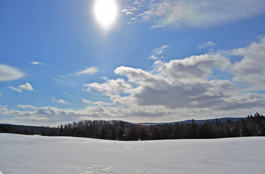


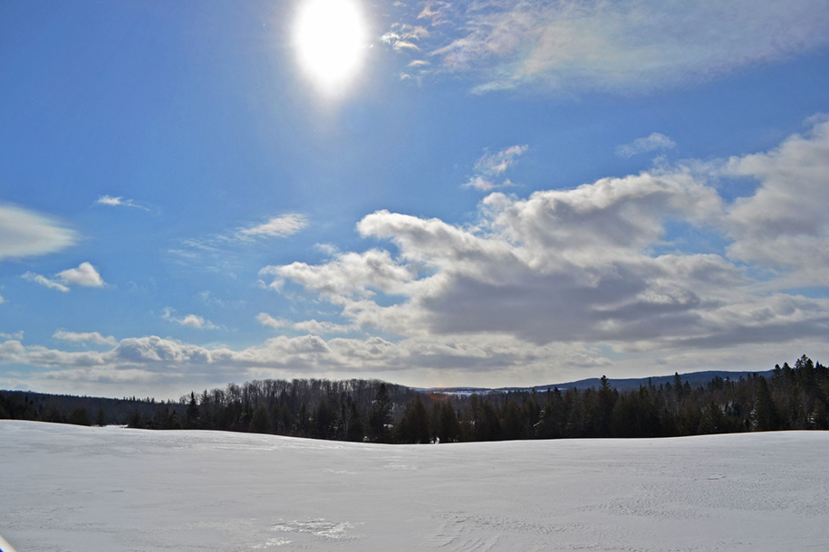
This view of a bright, sunny and cloudy sky was taken from Route 15 in Walden Sunday. With a temperature reaching into the low 20s, the weather conditions brought a nice day for outside activities.
HARDWICK – Blustery and cool was the way the forecast period started out on Wednesday. We completely dodged an early-week snowstorm and made up for it heading into Thursday night and Friday as a clipper system and lingering mountain-effect snow showers racked up 4 to 8 inches of snow over two days. Some of the local snow totals include the following: Greensboro, 7.6”; Woodbury, 5.6”; Calais, 5.5”; Wolcott, 5.0”; Craftsbury, 4.9”; Cabot, 4.8”.
It’s persistently cold at the time of this writing, with a gradual warming expected to occur through the week. This is the result of high pressure, which will introduce a southerly flow Wednesday. An approaching warm front will usher in even more warm air as we get into Thursday, with precipitation beginning to fall upon the front’s arrival later on Thursday. It looks like it should fall as wet snow initially, but several solutions suggest some light rain may work in from the valleys to the mountains moving into the daytime hours on Friday, before ending as snow on the backside of the system. The hills will likely see 1 to 3 inches of snow, with negligible amounts on the valley floors. Once that system clears out, the polar curtain is lowered again and we’ll be looking at a return to blustery conditions and very cold wind chills for the weekend. Here’s how this all shapes up:
Wednesday: A mix of sun and clouds. High: 40. Low: 14.
Thursday: Increasing clouds. Light snow developing overnight, mixing with rain by daybreak on the valley floors. Less than an inch of accumulation overall. High: 41. Low: 27.
Friday: Cloudy. Light rain and snow, tapering off throughout the day and finishing as flurries. Highest hills may get an additional two inches, lesser amounts in lower elevations. High: 38. Low: 19.
Saturday: Mostly sunny. High: 22. Low: 2. Wind chills as low as -15.
Sunday: Partly sunny, becoming mostly cloudy in the afternoon. Snow showers developing by evening with light to moderate accumulations overnight. High: 27. Low: 15.

Tyler is our weather reporter and a community journalist. He works as a nurse and EMT, volunteers with Hardwick Rescue and helps to train new EMTs.
