


EAST HARDWICK – A couple of steady rain events brought new precipitation amounts of around an inch region-wide in the past week. Additional snowmelt occurred as temperatures reached the low-to-mid 60s by Saturday, which also featured some sunshine and a warm breeze. The precipitation amounts have us at 140 percent of normal for the month so far, with medium-range forecasts from the Climate Prediction Center showing a persistent trend in above-normal precipitation for the next several weeks. Our drought status is likely to be removed should trends continue this way for the rest of April. Temperatures are also likely to be above normal during this time.
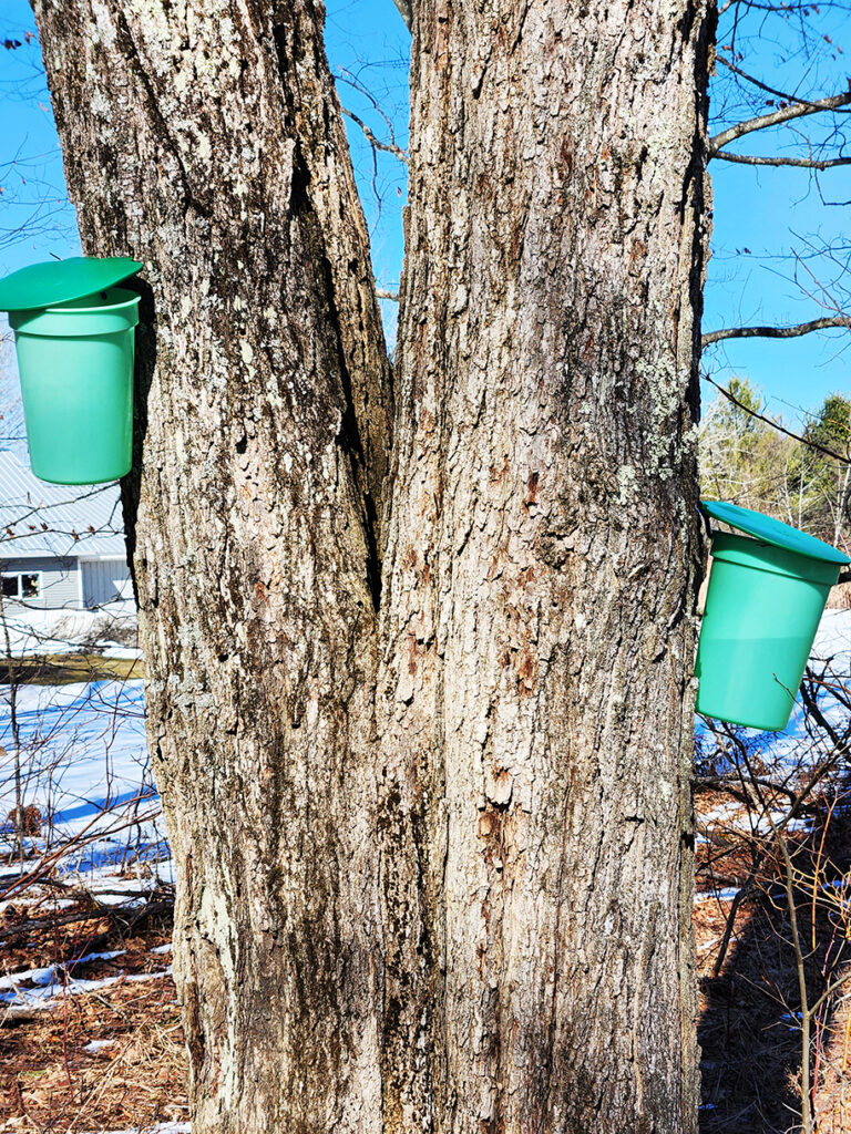
photo by Dawn Gustafson
The past several days featured different conditions from our forecasted trends. Snow showers returned overnight on Sunday, resulting in an inch or two of snow accumulation. Snow showers persisted into Tuesday morning with a colder air mass in place.
Cooler air lingers through today as a high-pressure system slides east over the next 36 hours with sunshine. Temperatures moderate somewhat tomorrow and winds pick up from the south. The combination of a dry airmass and a strong breeze will increase the fire danger concerns and any fire that starts on Thursday will have the potential to quickly become uncontrolled.
An approaching frontal boundary slows over the northeast Thursday night and a wave of low pressure travels along the front on Friday. Some light rain is expected on Friday, especially in the afternoon and evening. Highs start out approaching 50 on Saturday after that front passes, but they will quickly warm with ample sunshine through most of the weekend, with highs reaching 60 by Sunday. A storm system approaching Sunday night looks to bring another chance of rain as we head into the work week. Here are the forecast details:
Wednesday: Sunny. High: 44. Low: 24. Calm wind.
Thursday: Mostly sunny. High: 57. Low: 33. South wind 10-15 mph with gusts to 30 mph.
Friday: Mostly cloudy. Rain likely; especially in the afternoon. High: 58. Low: 34. Southwest wind 5-10 mph, becoming northwest.
Saturday: Partly sunny. High: 52. Low: 29. Northwest wind around 5 mph, becoming light.
Sunday: Mostly sunny, with increasing clouds in the afternoon. A chance of rain by evening. High: 61. Low: 43. South wind around 5 mph.
