


EAST HARDWICK – It was a little warmer and a little sunnier this past week as clouds were noted to break a little both Saturday and Sunday, although we still had to contend with some showers. The persistence of precipitation seems to be waning as we enter into June and the beginning of meteorological summer. About a third of an inch of rain fell in the seven days ending on Monday, with another three-day stretch without a drop in the gauge mid-week. The million-dollar question is: what will this weekend hold?

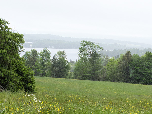
photo by David Mitchell
We’ll get back to that in a minute. It’s worth noting a couple of things about our dry stretch first. It was warm enough that high temperatures did reach the upper 80s in some parts of our region. One of our nearest long-term recording stations in Montpelier noted a record high of 87 on Wednesday, which broke the previous record of 85 set in 1967. The concentration of smoke from Canadian wildfires was most noteworthy in the atmosphere from Tuesday evening through Thursday morning. Some afternoon and evening showers scoured out the polluted air, although it did return again to wrap up the weekend, with morning smog and lingering smoke into each afternoon.
We start out the forecast period having recently been refreshed by some persistent rain, thanks to a low-pressure system exiting into the Canadian Maritimes. In its place, a lingering trough will bring some scattered afternoon showers and thunderstorms the next couple of afternoons, with more of a chance on Thursday. Skies will otherwise remain partly sunny with highs generally in the 70s, which is around normal for this time of year. Friday looks a little cooler, with some clearing as ridging builds north of New England.
Some uncertainty exists regarding the upcoming weekend as the previously mentioned high-pressure system is in a tight squeeze with a low-pressure wave approaching from the south. There might be enough northward motion for some light and scattered rain to arrive on Saturday, before disappearing with fairer conditions for Sunday. This isn’t much different from weekends of recent history, so it seems like a good place to hedge some bets. Here are those forecast details:
Wednesday: Partly sunny. Scattered afternoon and evening showers. High: 76. Low: 52. Southwest wind 5-10 mph.
Thursday: Partly sunny. Scattered afternoon and evening showers and thunderstorms. High: 73. Low: 47. West wind 10-15 mph. Gusts to 25 mph possible late.
Friday: Mostly sunny, becoming partly cloudy by afternoon. High: 66. Low: 43. Northwest wind around 5 mph.
Saturday: Mostly cloudy. Scattered showers. High: 67. Low: 50. Northwest wind 5-10 mph.
Sunday: Partly sunny. High: 70. Low: 52. South wind around 5 mph.

Tyler is our weather reporter and a community journalist. He works as a nurse and EMT, volunteers with Hardwick Rescue and helps to train new EMTs.


