


EAST HARDWICK – Another week of August, another week we’re struggling to play catch-up with some desperately needed precipitation. Total rainfall amounts from August 18 through August 25 ranged from one tenth to one half of an inch. This leaves us still two inches of rainfall short for the month.
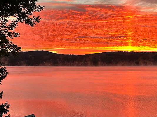
unenhanced photo by Linda Seel
Temperatures have generally remained near normal for this time of year, with highs in the upper 70s and low 80s. Lows fell into the upper 40s and low 50s. Sunday was the warmest day with highs reaching the mid-80s in some spots.
High pressure building over the eastern U.S. during the first half of this week will deflect approaches of beneficial rain, as conditions remain fair and cool in the presence of an upper-level disturbance over the Canadian Maritimes. That low does infiltrate southward by Thursday night and Friday, with a chance for a few showers and even cooler conditions.
The high-pressure system regains control over our weather and temperatures moderate slightly by the time we get into Sunday and Monday. This Labor Day weekend looks like it will feature multiple days in a row of sunshine- get out and enjoy it! Here are the forecast details:
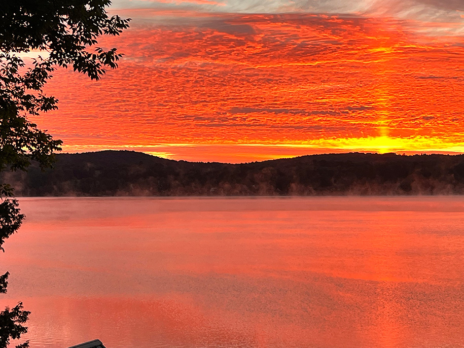
photo by Jim Fredericks
Wednesday: Partly sunny. High: 69. Low: 46. West wind 5-10 mph.
Thursday: Partly sunny. Scattered showers by evening. High: 72. Low: 48. West wind 5-10 mph.
Friday: Scattered showers in the morning, then becoming partly sunny. High: 67. Low: 44. West wind around 5 mph.
Saturday: Mostly sunny. High: 68. Low:43. Calm wind.
Sunday: Sunny. High: 72. Low: 45. Calm wind.
Labor Day: Sunny. High: 75. Low: 49. Calm wind.

Tyler is our weather reporter and a community journalist. He works as a nurse and EMT, volunteers with Hardwick Rescue and helps to train new EMTs.


