
EAST HARDWICK – After a month that has caught us up on rainfall, we managed to avoid any measurable precipitation in the past week. Thus, the ground is drying out a bit. The overall precipitation for the month has pushed all of the Northeast Kingdom out of drought conditions. However,[Read More…]
Weather Watch
Cooler temperatures briefly return; moderating temperatures on the horizon
EAST HARDWICK – A couple of steady rain events brought new precipitation amounts of around an inch region-wide in the past week. Additional snowmelt occurred as temperatures reached the low-to-mid 60s by Saturday, which also featured some sunshine and a warm breeze. The precipitation amounts have us at 140 percent[Read More…]
Rain featured every day this week
EAST HARDWICK – There continues to be evidence of a transition to spring, as the past several days featured steadily moderating temperatures. Temperatures were near freezing on Saturday, then the 40s by Sunday. Monday’s high in St. Johnsbury was 66 degrees. We are running about 89 percent of normal precipitation for[Read More…]
Rain in forecast; seasonably cold, dry by weekend
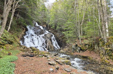
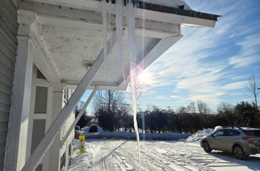
EAST HARDWICK – What a way to welcome the first day of spring. A storm system lifting through the northeast on Friday had enough cold air to work with to bring several inches of heavy wet snow to the region, along with some slippery driving conditions. We ended up with[Read More…]
Brief cooling, clearing today; steadier rain and snow by Sunday
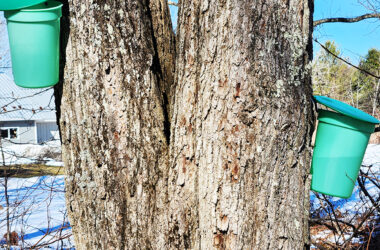
EAST HARDWICK – Snowpack depths continue to plummet across the low and mid-level elevations, with little, if any snow in the valleys. Other places, such as Craftsbury, have up to four inches of snow depth at elevations of 1,500 feet. The higher terrain of Greensboro has closer to 12 inches.[Read More…]
Milder mode for precipitation; light snow sandwiched in middle
EAST HARDWICK – A warm-up over the weekend brought highs well into the 40s and 50s with some light rain transitioning into breaks of sun by the start of the work week. Total rainfall amounts from Tuesday, March 3, to Monday, March 9, ranged generally from one quarter to one[Read More…]
Trend toward substantial warming by weekend
EAST HARDWICK – More daylight is evident on both ends of the day as the time between sunrise and sunset extends beyond 11 hours this week. Some events that come with that include a higher sun angle, some competition between airmasses, and the prospects of our clocks moving ahead so[Read More…]
Ups, downs with temperatures; snow on Wednesday and Saturday
EAST HARDWICK – The observation station logged several no-precipitation days this forecast period, which included most of Saturday into Monday. Much of northern New England dodged a powerful Nor’easter that brought feet of snow to places like Connecticut, Rhode Island, eastern Massachusetts, coastal Maine and New Hampshire. Providence, R.I., had[Read More…]
Multiple rounds of light snow; seasonable temperatures this week
EAST HARDWICK – Last week’s warming temperatures during the day still gave way to some cooler nights with lows on either side of zero. The boundary between some cooler polar air and warmer southern air did set us up for a few waves of snow showers, adding up to several[Read More…]

Moderating temperatures; chances for light snow remain
EAST HARDWICK – More cold temperatures arrived just in time for the weekend, with wind chills both Sunday and Monday mornings in the 20s below zero locally. Some light snow passed through on Saturday morning with the arrival of a cold front ushering in the Arctic airmass and some stronger[Read More…]
One word: Brrrr…
EAST HARDWICK – Another week with cold temperatures is in the books as highs remained mostly in the single numbers to low teens. Temperatures wrapped up well below zero on Monday morning. This was due to clearing skies from an area of high pressure that allowed for strong radiational cooling[Read More…]

Mostly light snow with mix of sun and clouds; cold
EAST HARDWICK – It’s hard to summarize the span of events we’ve experienced in the past week around here. Let’s put it in the category of what we’ve come to expect as we progress through Vermont winters: cold and windy; with all roads leading to snow. Perhaps all snow landing[Read More…]
