


EAST HARDWICK – More daylight is evident on both ends of the day as the time between sunrise and sunset extends beyond 11 hours this week. Some events that come with that include a higher sun angle, some competition between airmasses, and the prospects of our clocks moving ahead so we see more of that light later into the evening.
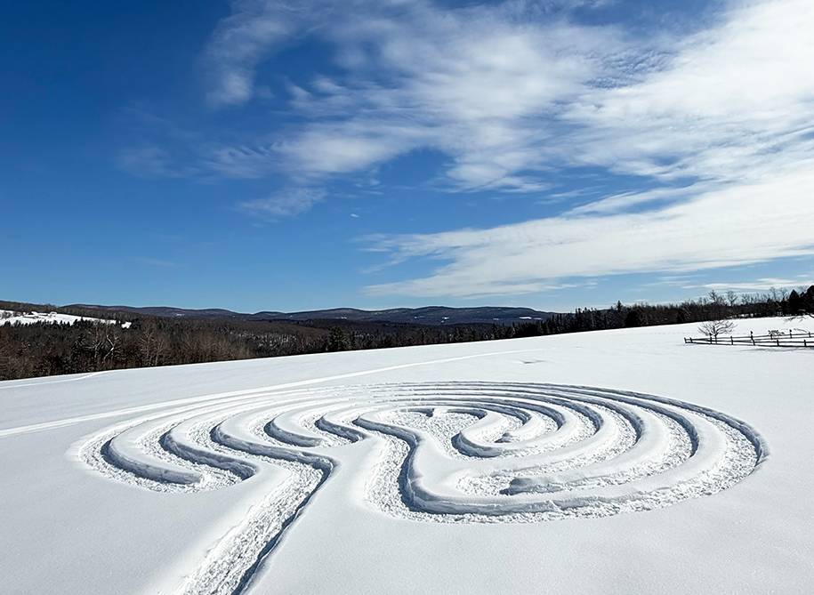
photo by Nancy Riege
Case in point: this past weekend featured some of our first mid-40s temperature readings in nearly seven weeks. Saturday was the warmer of the two days, with highs ranging from 45 degrees in St. Johnsbury to 48 degrees in Berlin. This occurred under a strong southerly breeze and an afternoon featuring some breaks of sun. The warm-up was nothing record-breaking by any means, but a preview of our trends as we approach spring solstice.

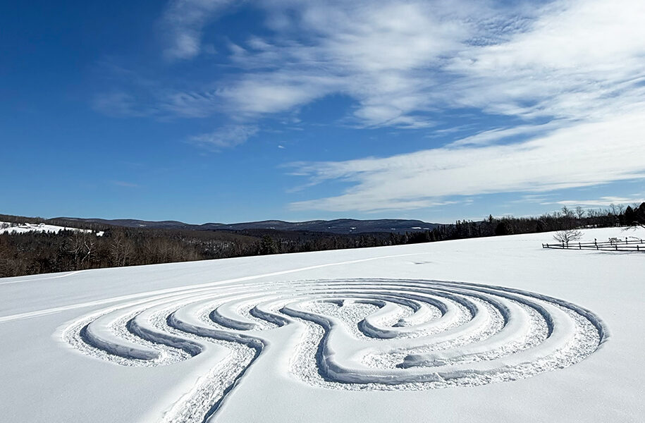
photo by Brittany M. Butler
As much as that warm-up was strong, a cold front passing overnight on Saturday dropped temperatures by Sunday night as high pressure built over the northeast in its wake, bringing strong radiational cooling that dropped temperatures below zero by Monday morning. Lows of -16 and -13 were reported in Hardwick and Plainfield, respectively. The warm-up did melt some snow, but a solid two feet still remains on the ground at our East Hardwick observing station.

photo by Kathy Rowley
A weak ridge of high pressure over eastern Canada starts the forecast period out with some breaks of sun and temperatures in the low to mid 30s, which is near-normal for early March. A slow-moving frontal boundary lifts north from the Ohio Valley late Thursday into Friday morning. It is also competing with the Canadian high to the north, which will keep any precipitation amounts light. With that boundary approaching the region, an intrusion of milder air aloft may occur as colder air likely remains at the surface in the northeast part of the state. Precipitation will start as a wintry mix, with all winter precipitation types possible, before ending as a few snow showers Friday morning.
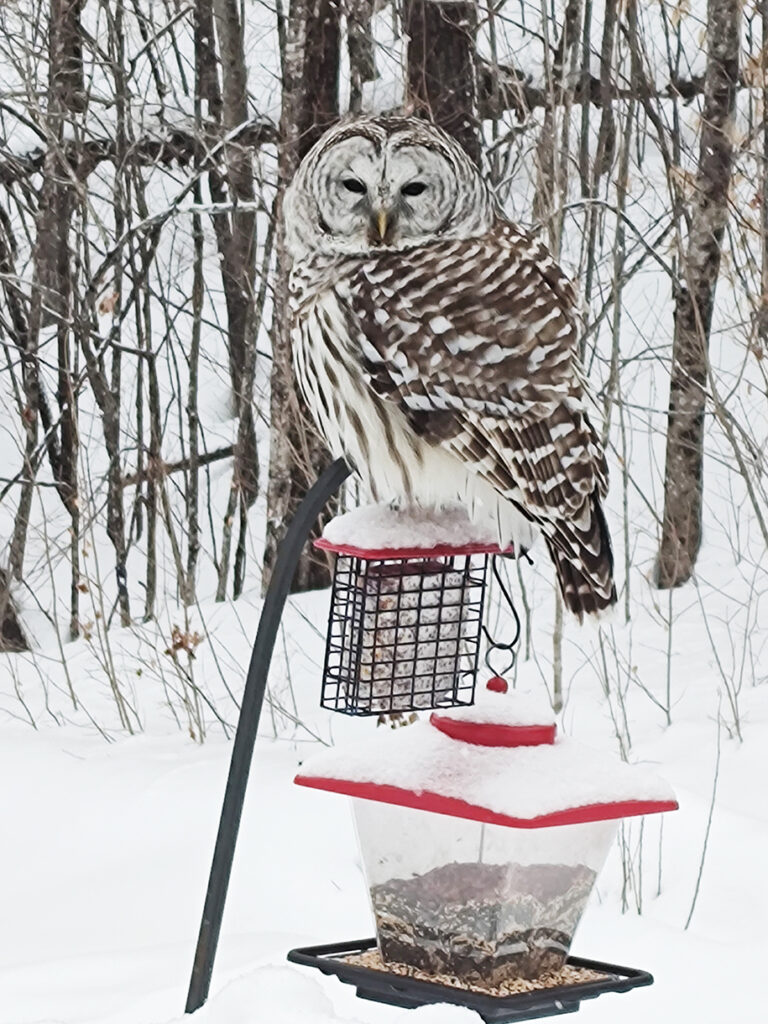
photo by Carolyn Stewart
As we look ahead to the weekend, a stronger system develops over the upper Midwest and lifts a warm front north into the St. Lawrence River Valley. This will bring a wintry mix that will quickly transition to rain on Saturday, followed by the passage of a cold front and a brief period of heavier showers Saturday evening. It will also be breezy on Saturday with high temperatures in the low-mid 50s and a rumble of thunder possible with the passage of a cold front. Some minor flooding concerns may exist with rising river levels from rain and snowmelt, combined with the breakup of river ice. A return to slightly cooler weather occurs on Sunday but expect the trend of warming to return as we move back into the work week. Don’t forget to set your clocks ahead one hour on Sunday morning. Here are the forecast details:
Wednesday: Mostly sunny. High: 38. Low: 22. Light and variable wind.
Thursday: Partly sunny. Increasing clouds with a chance of light rain/freezing rain by evening, changing to snow and sleet overnight. Very light snow/ice accumulations possible. High: 41. Low: 28. Light wind, becoming northeast around 5 mph.
Friday: Mostly cloudy. Isolated snow showers in the morning. High: 37. Low: 30. Southeast wind around 5 mph.
Saturday: Cloudy. Some breaks of sun in the afternoon. Light steady rain or freezing rain in the morning. Showers and thunderstorms by evening. High: 52. Low: 33. South wind 10 to 15 mph with gusts to 30 mph.
Sunday: Partly sunny. High: 42. Low: 32. Light and variable wind.


