
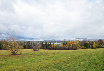


EAST HARDWICK – A significant amount of precipitation fell over the course of the week as we were visited by multiple storm systems that dropped mostly rain through Sunday, although a few snow showers were evident during the morning hours on Thursday, Sunday and Monday. Monday featured heavy rain as a low-pressure system developed off the coast, with that precipitation turning to all snow by sunset in most elevations. Slippery travel was widespread, with a quick 2.1 inches of snow observed here in East Hardwick by Tuesday morning. Snow showers continued falling at that time.
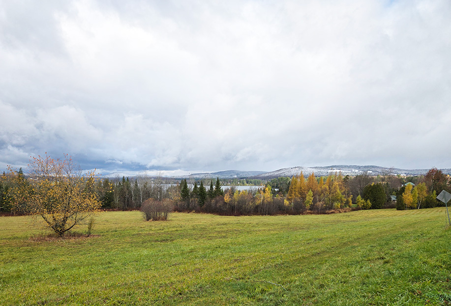
photo by Paul Fixx
Meanwhile, Greensboro reported 3.7 inches of snow, West Woodbury came in with 1.6 inches, and Craftsbury had 1.5 inches by Tuesday morning.
A band of heavy snow through the Champlain Valley and western Green Mountains dumped 6-8 inches from Swanton to Enosburg Falls, with 11.5 inches just over the border in Saint-Armand, Quebec. We’ve received nearly three inches of melted precipitation at this point this month, which is over an inch and a half above normal. The drought monitor still shows much of eastern Vermont in extreme drought conditions last week, although some improvement is expected.
A trough of low pressure and its associated cold front will be the next feature to pass Wednesday night into Thursday, with another round of rain and snow showers. Those will linger into Thursday evening with a few inches of accumulation possible in the mid-terrain, and enough to coat the ground in the valleys. The precipitation becomes mountain-focused on Friday, with a few snow showers mixed with breaks of sun.
Saturday will feature slightly more sunshine as a ridge of high pressure builds over the northeast. Another clipper-type system approaches for Sunday, with precipitation starting out as rain or freezing rain as we remain in the warm sector, before transitioning to all snow sometime overnight. Another couple of inches of accumulation are possible there. It will turn cool again as that storm pulls away and leaves us with snow-covered ground and more precipitation in sight thereafter. Here are the forecast details:
Wednesday: Mostly cloudy. Scattered rain and snow showers, especially by afternoon. Snow accumulation around an inch. High: 37. Low: 25. Southwest wind 5-10 mph.
Thursday: Cloudy. Snow showers likely. Snow accumulation of a dusting to an inch in the valleys; 1-3 inches mid-terrain. High: 38. Low: 24. West wind around 5 mph.
Friday: Mostly cloudy. Scattered snow showers, especially in the morning. High: 33. Low: 20. Northwest wind 10-15 mph.
Saturday: Partly sunny. High: 33. Low: 20. Light and variable wind.
Sunday: Mostly cloudy. Rain and snow during the day, possibly mixed with sleet and freezing rain, transitioning to snow showers overnight. Light snow accumulation possible. High: 40. Low: 25. Southwest wind 5-10 mph.

Tyler is our weather reporter and a community journalist. He works as a nurse and EMT, volunteers with Hardwick Rescue and helps to train new EMTs.


