


EAST HARDWICK — Moderating temperatures closed out the work week last week, with lows struggling to drop below freezing Thursday night under the influence of a southerly flow. Some snowpack was lost in the process, despite all of the early-season accumulation.
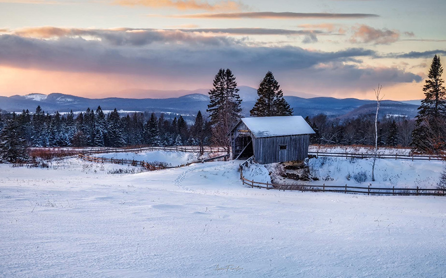
photo by Aaron Facciolini
Some additional warmth may reach the northeast just in time to wrap up Christmas, as a wave of low pressure develops over the Great Lakes and moves east. Preceding it will be an area of high pressure bringing cooler temperatures into the overnight tonight, followed by increasing clouds tomorrow. Precipitation will likely be a mix of precipitation types heading into Friday. Seasonable temperatures will return for the last weekend of the year. Here are those forecast details:
Wednesday: A slight chance of snow showers in the morning, otherwise becoming mostly sunny. High: 27. Low: 8. Northwest wind 5-10 mph, becoming light.
Thursday: Partly cloudy. A chance of rain or snow showers in the afternoon. High: 32. Low: 22. Southwest wind 5-10 mph.
Friday: Mostly cloudy. Rain or snow likely. High: 34. Low: 18. Southwest wind 5-10 mph, becoming northwest.
Weekend Outlook: Trending drier with temperatures in the 20s for highs and single digits for lows.


