
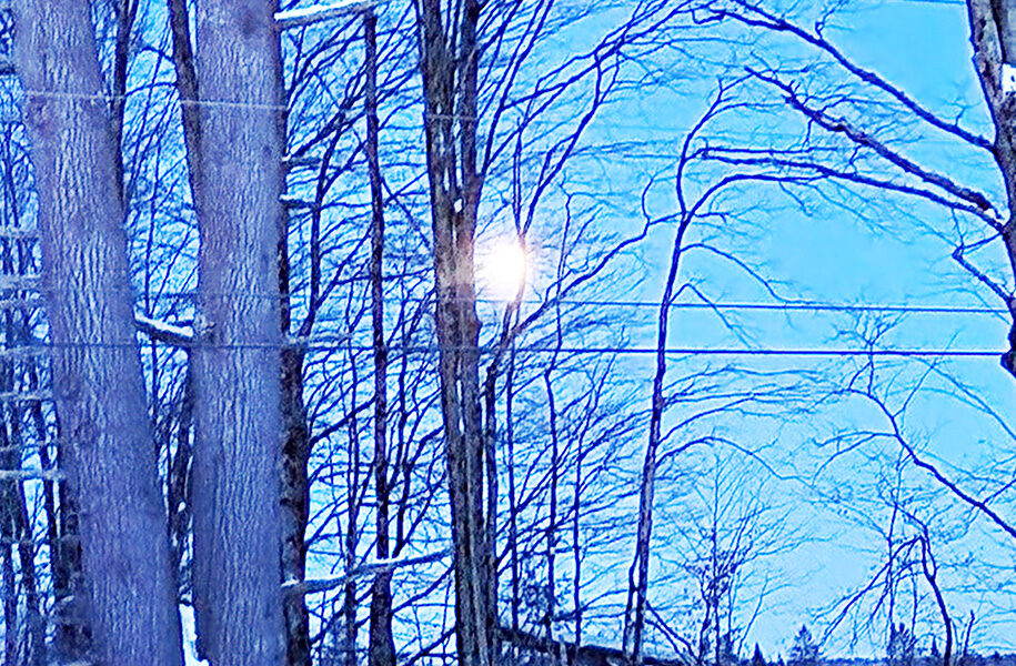


EAST HARDWICK – Another week with cold temperatures is in the books as highs remained mostly in the single numbers to low teens. Temperatures wrapped up well below zero on Monday morning. This was due to clearing skies from an area of high pressure that allowed for strong radiational cooling from the snow-covered ground. Wind chills reached close to 20 below zero. That high-pressure system won the battle against a developing coastal low, so we dodged the threat of heavy snowfall.
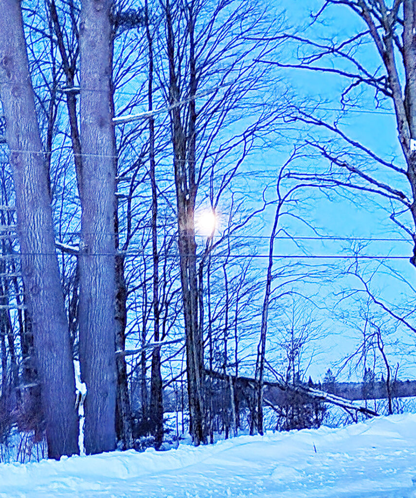
photo by Dawn Gustafson
In the coming forecast period, we continue to tap into the Arctic airmass, which promises more days with temperatures well below normal. Highs this time of year generally run in the upper 20s, with lows in the single numbers above zero.
A series of weak cold fronts will cross the region, starting first thing this morning with some very light snow showers, followed by another front on Thursday with even less moisture. A stronger clipper system then approaches from the Great Lakes Region for the second half of Friday and lingers into early Saturday.
This front will bring steady snow showers with heavier bursts of snow, so travel later Friday may come with sudden changes in road conditions and visibility. Behind that front, breezy conditions and a larger rush of cold air enter the northeast. Highs will struggle to reach zero both Saturday and Sunday, with lows in the teens below zero and wind chill values even colder. No significant precipitation is expected as high pressure begins to influence the weather this weekend, although dangerous wind chills will bring an increased risk for frostbite and hypothermia for anyone pursuing outdoor activities. Here’s how the forecast shapes up:
Wednesday: Partly sunny. Scattered snow showers. High: 21. Low: 5. West wind around 5 mph.
Thursday: Partly sunny. Scattered snow showers. High: 16. Low: -2. Light wind.
Friday: Mostly cloudy. Snow showers likely with possible snow squalls in the afternoon and evening. Snow accumulation of 1-3 inches. High: 23. Low: -4. Light wind; becoming south around 5 mph in the afternoon.
Saturday: Mostly cloudy. Cold. High: 1. Low: -17. Northwest wind 10-15 mph with gusts to 25 mph. Wind chill values as low as -15 during the day; -30 overnight.
Sunday: Mostly sunny. Cold. High: 0. Low: -13. Northwest wind 5-10 mph. Wind chill values as low as -10 during the day; -30 overnight.


