
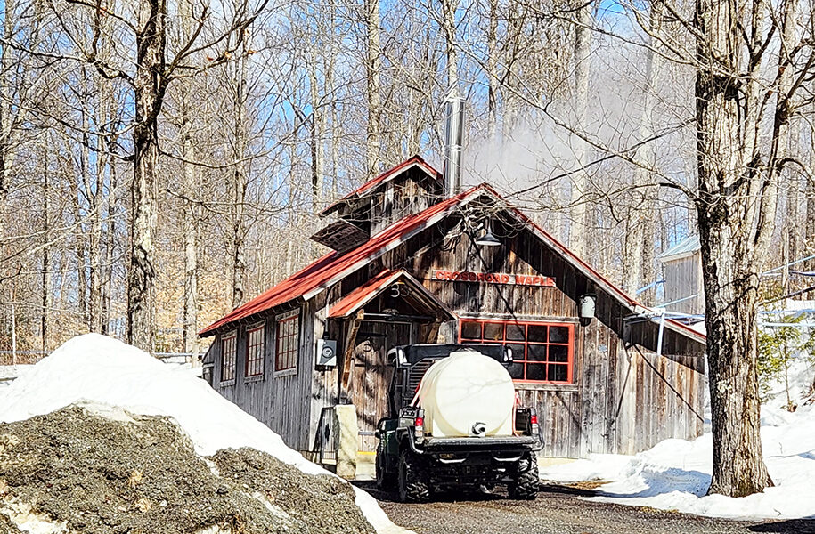


EAST HARDWICK – A warm-up over the weekend brought highs well into the 40s and 50s with some light rain transitioning into breaks of sun by the start of the work week. Total rainfall amounts from Tuesday, March 3, to Monday, March 9, ranged generally from one quarter to one half of an inch. The warm temperatures and sunshine also put a dent in the snowpack, dropping it from two feet in the mid-elevations down to about a foot of depth.
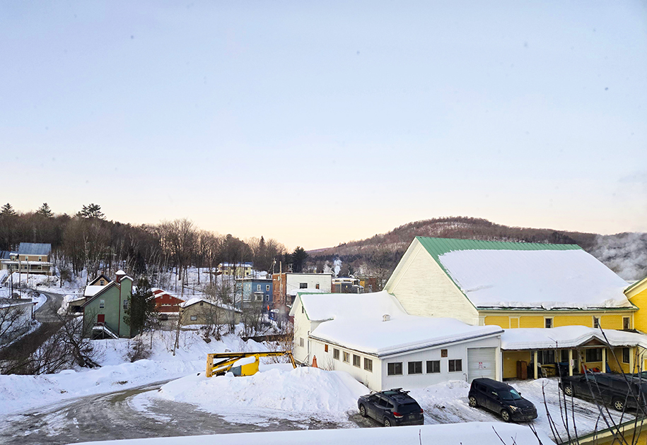
photo by Paul Fixx
Cold air trapped at the surface on Wednesday means conditions start out less mild as a storm system approaching from the Great Lakes lifts a warm front through our region in the morning. It brings steady rain with a chance of light freezing rain. That low intensifies as it reaches the St. Lawrence River Valley Wednesday evening, when precipitation turns into bursts of showers with some gusty winds. Rainfall amounts of half an inch are possible, with above-freezing conditions contributing to runoff and concerns for minor river and ice jam flooding. A flood watch is in effect until Thursday afternoon for this reason.
Temperatures cool behind a cold front with rain showers finishing as snow. Another clipper follows on the heels of the first. This one looks cold enough that we will receive a couple inches of snow as the clipper approaches later Friday into early Saturday. Finally, a third low finishes the weekend with a stronger warm nose and the potential for all precipitation types. This storm could bring some moderate precipitation, although we are too far out to talk about specific precipitation types and amounts. Plan on travel conditions being poor later Sunday into Monday morning. Here are the forecast details:
photo by Dawn Gustafson
Wednesday: Cloudy. Rain or freezing rain in the morning, then showers likely by evening. High: 43. Low: 29. South wind 5-10 mph, becoming southwest and increasing to 15-20 mph with gusts to 35 mph.
Thursday: Mostly cloudy, then becoming partly sunny. Scattered morning snow showers. High: 40. Low: 17. Northwest wind 10-15 mph. Gusts to 25 mph in the morning.
Friday: Partly sunny in the morning, then becoming mostly cloudy. Snow showers likely in the afternoon. High: 35. Low: 23. Southwest wind 5-10 mph.
Saturday: Mostly cloudy. Scattered snow showers in the morning. High: 34. Low: 17. West wind 10-15 mph with gusts to 25 mph.
Sunday: Partly sunny in the morning, then becoming mostly cloudy. Snow or rain by evening, with mixed precipitation possible. High: 40. Low: 28. Light and variable wind, becoming southwest around 5 mph in the afternoon.


