


photo by Dawn Gustafson
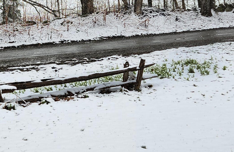
EAST HARDWICK – Our forecast period last week included a dramatic shift in temperatures. Highs in the upper-60s on Saturday under full sunshine and a south breeze changed to a cloudy Sunday, with temperatures falling to the 30s and accumulating snow across the region. 2.5 inches of new snow fell in East Hardwick, with Craftsbury, Woodbury and Plainfield reporting between one and two inches of new snow. The higher elevations of Greensboro received 4.3 inches from the storm.
Thunderstorms on Thursday evening packed a bit of a punch, locally with some gusty winds and heavy rain. About 30 miles south of our area in Williamstown, the first April tornado ever recorded in Vermont touched down with a path length of just under half a mile and maximum winds of 90 mph, which makes it an EF1 tornado after damage was evaluated by the National Weather Service. From the thunderstorm downpours, Stannard reported 1.4 inches of rain.
2.62 inches of rain fell between Monday, April 13, and Monday, April 20, at the East Hardwick station, which puts us over an inch above normal for the month and near normal for the year in terms of precipitation amounts. The drought monitor shows parts of eastern Vermont have been downgraded from a moderate drought to abnormally dry.
An upper-level low remains over the Canadian Maritimes for most of the forecast period, with the jet stream mostly deflecting south of New England. This means we will have slightly below, but consistent temperatures through most of the forecast period, with some clouds mixed with sun as a rule. A weak disturbance will make its way into Vermont later today into tomorrow morning with a chance of some light rain and snow showers. After that, conditions tend to be sunnier. Low relative humidity combined with breezy conditions Thursday may elevate the fire danger. The weather conditions otherwise remain consistent all the way through Sunday. Here are the forecast details:
Wednesday: Mostly cloudy. A chance of rain or snow showers. High: 44. Low: 31. South wind around 5 mph.
Thursday: Partly sunny. High: 48. Low: 26. Northwest wind 5 to 10 mph with gusts to 20 mph.
Friday: Mostly sunny. High: 50. Low: 27. Calm wind.
Saturday: Mostly sunny. High: 55. Low: 32. Calm wind.
Sunday: Partly sunny. High: 56. Low: 35. Calm wind.


