


EAST HARDWICK – After a month that has caught us up on rainfall, we managed to avoid any measurable precipitation in the past week. Thus, the ground is drying out a bit. The overall precipitation for the month has pushed all of the Northeast Kingdom out of drought conditions. However, dry fuels for brush fires are abundant. This combined with low relative humidity and breezy conditions make the risk of out-of-control brush fires high. Check in with your local fire warden regarding the issuance of burn permits which may be restricted until things are less volatile.
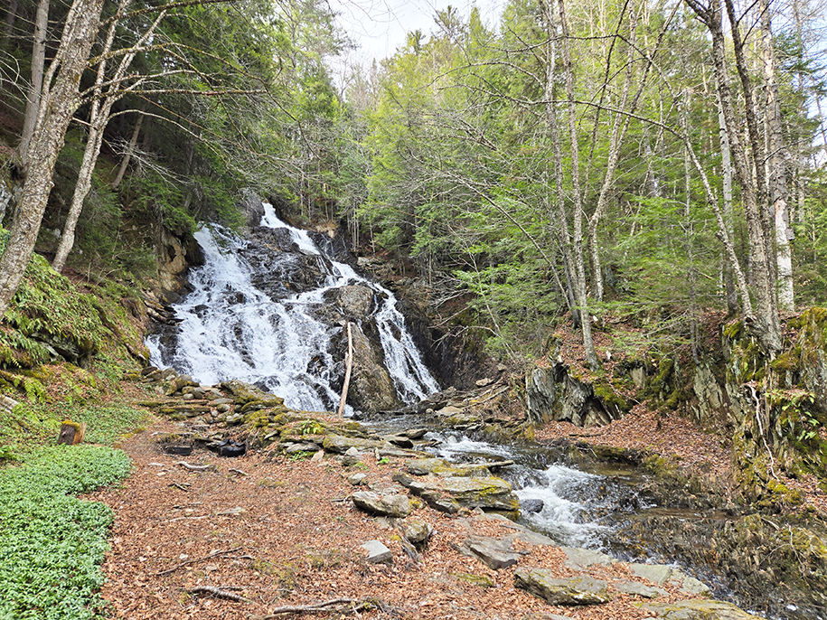
photo by Paul Fixx
Our normal high for this time of year should be in the upper 50s to low 60s, with lows around freezing. Conditions were near-to-slightly-below normal during the work week last week, with temperatures moderating through the weekend. By Monday, the high temperature reached the mid-70s in most places. We will see one more day of sunshine and above-normal temperatures today, before the pattern changes for cooler and wetter conditions.
A ridge that has brought sunny conditions begins to erode this afternoon and cloud cover increases by evening. A storm system developing over the Lower Mississippi River Valley makes its way into the Great Lakes this evening and into the northeast overnight, with a steady rain expected through tomorrow. The surface low then gets pulled into a stalled upper-level circulation, meaning that periods of showery activity are expected each day Friday through Sunday, with some breaks in the clouds.
Highs will generally be in the low 50s, with lows near freezing. Some of the precipitation may fall in the form of a few snowflakes during the overnights, especially in the highest terrain of our region. No significant accumulation is expected. Unsettled weather continues into the beginning of next week. Here are the forecast details:
Wednesday: Mostly sunny. Becoming mostly cloudy by evening with rain developing. High: 70. Low: 43. South wind 5-10 mph.
Thursday: Rain. High: 52. Low: 35. Calm wind.
Friday: Mostly cloudy. A chance of rain or snow showers. High: 46. Low: 31. Calm wind.
Saturday: Partly sunny. A chance of rain showers in the afternoon. High: 53. Low: 31. West wind around 5 mph.
Sunday: Partly sunny. A chance of rain or snow showers. High: 50. Low: 32. Calm wind.

Tyler is our weather reporter and a community journalist. He works as a nurse and EMT, volunteers with Hardwick Rescue and helps to train new EMTs.


