


EAST HARDWICK – Our latest weather-maker comes after a period of-rain free days that left frost-covered and starlit nights through Friday. Temperatures moderated after that under fair skies and the wind picked up ahead of a strengthening low closing off over New England on Monday. Many areas of Vermont saw periods of torrential rain and thunderstorms throughout the day and into the evening, with rainfall amounts by Tuesday morning totaling around an inch locally. Some parts of the spine of the Green Mountains saw totals upwards of three and a half inches in the heaviest precipitation.
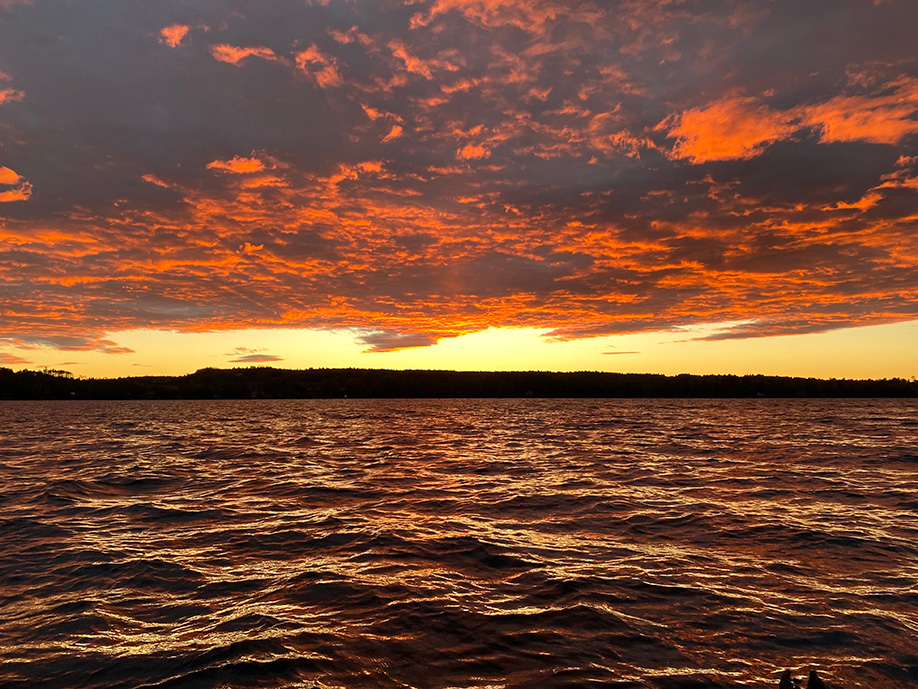
photo by Colleen Jenkins
As it stands right now, our observation station is still about three quarters of an inch below normal for rainfall this month, having received 0.97 inches of rain with the last storm. This gap is much narrower than in previous months. Extreme drought conditions persist, although the recent bursts of rain do provide some hope that the drought intensity may ease slightly.
On the weather map, the upper-level pattern favors low-pressure influence over the northeast, leading to cooler and more unsettled conditions. The storm system responsible for Monday’s rainfall has lifted north and been replaced by another frontal boundary approaching from the west. This will bring a subsequent round of rain and thunderstorms today, with scattered showers persisting through Friday as multiple shortwaves pass through. The timing of the precipitation ending on Friday night is still up for debate. It is possible a few snow showers may mix in above 2,000 feet if precipitation is still falling overnight into Saturday morning.
High pressure builds in for the second half of Saturday, leading to clearing skies and much cooler temperatures which persist through the weekend. Here are the forecast details:
Wednesday: Mostly cloudy. Rain in the morning, then showers with a chance of thunderstorms in the afternoon. High: 58. Low: 39. Wind southwest 10-15 mph, with isolated gusts to 30 mph in the afternoon.
Thursday: Mostly cloudy. Scattered rain showers. High: 53. Low: 37. Southwest wind 5-10 mph.
Friday: Mostly cloudy. Scattered rain showers, with isolated higher elevation snow showers overnight. High: 50. Low: 33. West wind around 5 mph.
Saturday: Mostly cloudy in the morning, becoming partly cloudy. High: 45. Low: 29. Calm wind.
Sunday: Mostly sunny. High: 46. Low: 26. Calm wind.

Tyler is our weather reporter and a community journalist. He works as a nurse and EMT, volunteers with Hardwick Rescue and helps to train new EMTs.


