


EAST HARDWICK – Tuesday morning was another chilly wake-up to frost and low temperatures around freezing here at the observing station. The weather in general has trended cloudier and cooler. Much of the weekend dodged large breaks of sun, as overcast conditions and scattered showers occupied the skies. For our highest elevation observing stations nearby, the first snowflakes of the season were seen during the morning hours over the weekend, with no significant accumulations to mention.
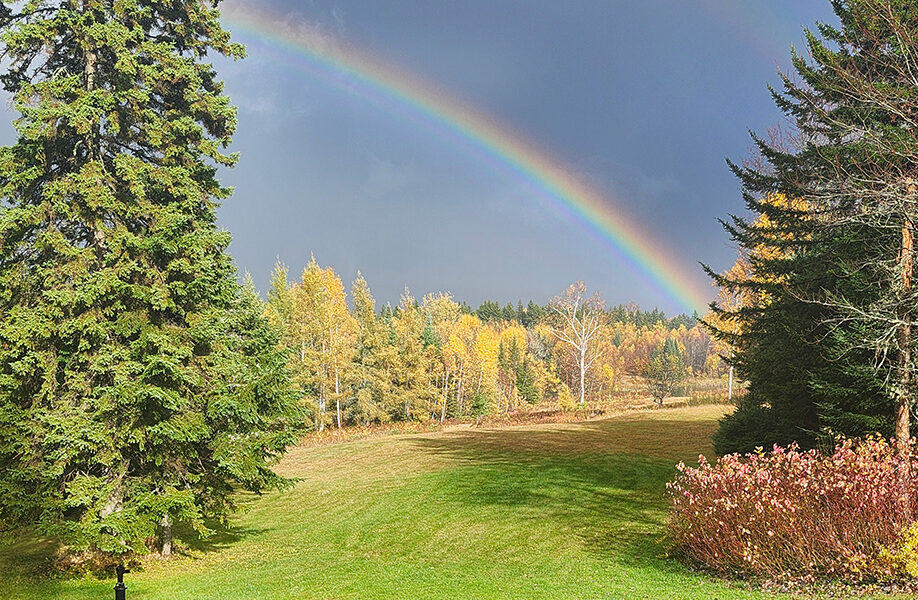
photo by Sandy Atkins
Meanwhile, on the rain side, a widespread three quarters of an inch to an inch of rain fell, which means we’re still in need of more soaking rains to get us out of our persistent drought state, although the statewide restriction on issuing burn permits has been rescinded. Check with your local forest fire warden regarding whether they are issuing burn permits at this time.
The persistent conditions are the result of upper-level low pressure influence over the northeast, which includes lingering chances for showers daily and occasional waves of low pressure at the surface bringing heavier bursts of rain as they pass. Highs have generally been in the upper 40s and low 50s, with lows around 30.
Expect more of the same over the next several days. Wednesday, however, will feature the best chance of seeing more sunshine, as temperatures moderate into the mid-50s. Our next substantial storm system approaches from south-to-north Thursday morning: a surface low moving through the Appalachians. This low will transfer energy to the New England coast and set up the mountains of Vermont for some steady rain, possibly heavy, from Thursday evening into Friday. Rainfall amounts could exceed an inch, with up to two inches in the heaviest of the rain. Some of the moisture will be sourced from Hurricane Melissa, which is currently making landfall in Jamaica as a Category 5 hurricane. Melissa will pass well off the eastern seaboard and exit into the North Atlantic, but will be close enough to interact a bit with the low stationed over the northeast.
As the low exits later Friday, lingering showers will persist through Friday night and much of Saturday, although light and scattered in nature. It will still be a bit unpleasant for trick-or-treaters Friday evening. Expect Saturday morning to feature a couple of snowflakes mixing in over the highest hills of Greensboro and Walden, with a better chance of a couple of snow showers reaching lower levels (to 1,500 feet) by later Saturday night. No significant accumulations are expected, although a dusting is possible here and there.
A weak area of high pressure builds in for Sunday, with partly-to-mostly cloudy conditions. A stray flurry or sprinkle is possible. We continue to cool as the weekend wraps up. Here are the forecast details:
Wednesday: Partly sunny. High: 54. Low: 30. Calm wind.
Thursday: Cloudy. Rain, possibly heavy at times. High: 51. Low: 41. Northeast wind 5-10 mph, becoming southeast. Gusts up to 25 mph.
Friday: Cloudy. Scattered rain showers, possibly mixing with snow showers above 2,000 feet. High: 54. Low: 34. Southeast wind 5-10 mph.
Saturday: Mostly cloudy. Scattered rain and snow showers. High: 43. Low: 32. West wind around 5 mph.
Sunday: Mostly cloudy. High: 44. Low: 30. West wind around 5 mph.

Tyler is our weather reporter and a community journalist. He works as a nurse and EMT, volunteers with Hardwick Rescue and helps to train new EMTs.


