


EAST HARDWICK – In the first eight days of December, the 2025 month developed a reputation for a cold and snowy pattern, underscored by multiple rounds of light accumulating snow and sub-zero temperatures.
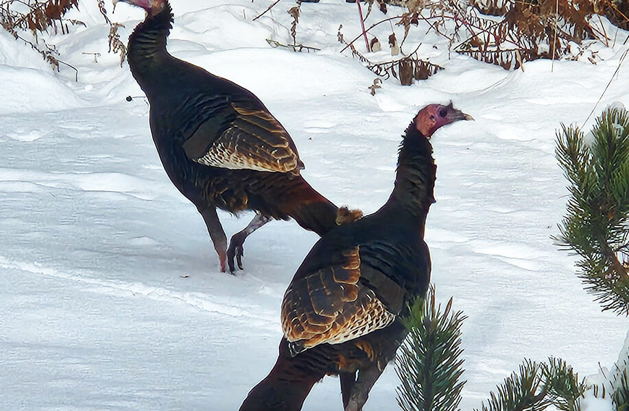
photo by Dawn Gustafson
Normal highs for this time of year are generally in the mid-30s, with lows in the upper teens. At the Morrisville-Stowe Airport, our nearest long-term reporting station, no day so far this month has seen above-normal temperatures. In fact, the morning low on Friday was some 28 degrees below normal at 10 below zero. Closer to home, Hardwick reported -11°F, Plainfield’s low was -4°F and we dropped to -12°F in East Hardwick.
Snowfall totals included a one-to-three-inch snowfall Sunday afternoon into the overnight, with another inch falling during the passage of a snow squall on Thursday which brought unseasonably cold conditions to the region. The heaviest snow fell a week ago on Tuesday, when 24-hour snowfall amounts ranged from three to six inches.
The pattern for the rest of the week keeps us on the cooler side, although extremes in temperature look to be less intense. Our weather map starts out today with a low-pressure system approaching from the Great Lakes; its associated front occluding as it approaches New England. This will lead to some steady snow initially ahead of the front, with a 6-10 hour window of snow from midday into the evening. The focus of the snowfall then turns to the higher terrain and the precipitation becomes lighter. The snow may be dense and wet, before cold air funnels down from Canada to turn the snow to a drier consistency as it lingers into Thursday.
A small dome of high pressure builds in for Friday, before a weak clipper approaches for Saturday with another round of light snow. Some snow showers linger in the wake of the front, along with cooler air to wrap up the weekend. Here are the details of the forecast:
Wednesday: Cloudy. Snow by afternoon into the overnight. Snow accumulation of 2-4 inches. High: 30. Low: 19. South wind 5-10 mph, becoming northwest after midnight.
Thursday: Mostly cloudy. Scattered snow showers. An additional inch of accumulation possible. Temperatures falling throughout the day. High: 26. Low: 7. Northwest wind 5-10 mph.
Friday: Partly sunny. High: 20. Low: 7. Light and variable wind.
Saturday: Mostly cloudy. Scattered snow showers. High: 22. Low: 8. West wind 5-10 mph.
Sunday: Mostly cloudy. Scattered snow showers. High: 16. Low: -3. Northwest wind 5-10 mph.

Tyler is our weather reporter and a community journalist. He works as a nurse and EMT, volunteers with Hardwick Rescue and helps to train new EMTs.


